.png)

Categories
INDUSTRIAL SERVICES
Hours:
24/7
Driving Directions:
105 Shirey Lane Suite D Lufkin TX 75904
About Us
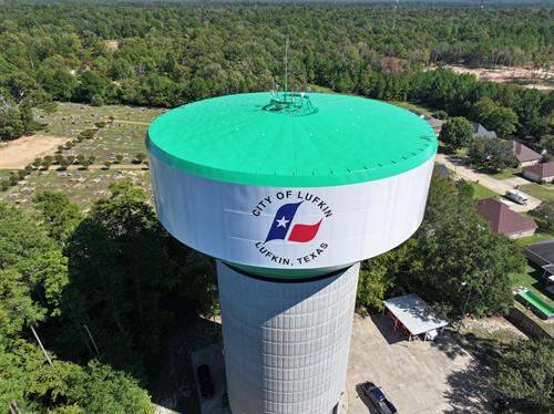
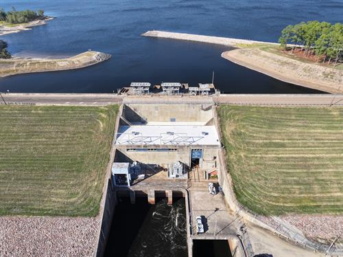
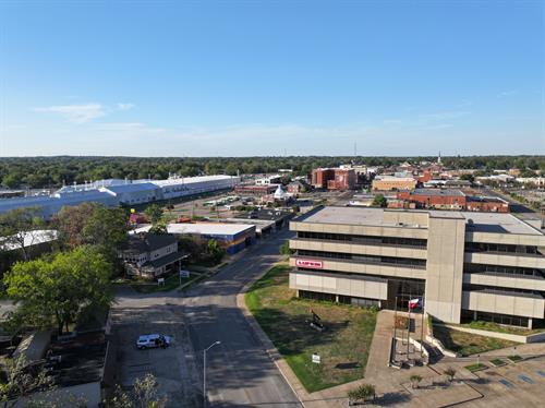
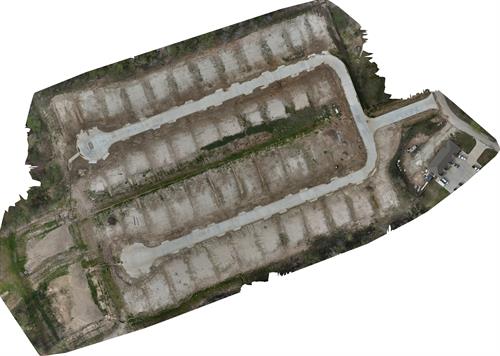
Aerial photogrammetry involves capturing large volumes of 2D images over a geographical area and compiling them to create 3D topographical models and orthomosaic maps or images created from collections of photographs.
Aerial photogrammetry makes it possible to see the same ground point from different angles and elevations. From there, you can create a 3D map that includes a range of helpful visual cues, like color and texture.
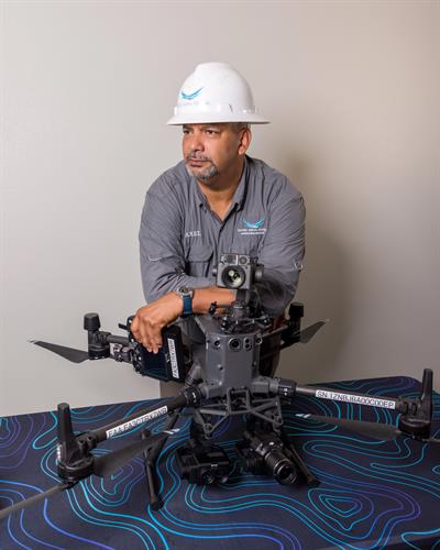
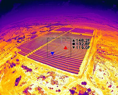
Temperature Measurement or Radiometry is a technology that can provide benefits in a wide range of applications. Thermal cameras that employ temperature measurement features have enabled organizations to deploy solutions for security and protection, as well as predictive maintenance, cost effectiveness, firefighting support, game management, and search and rescue.
Radiometric thermal technology also plays a crucial role in the security and protection arena because it allows detection of objects or people when other imaging systems simply cannot provide good (information-rich) images. Specifically, radiometric cameras have proven invaluable for guarding physical and virtual perimeters around power plants, petrochemical facilities, and substations.
Highlights
- Aerial Photogrammetry
- Radiometric Thermal Imaging
- Building Inspections
- Industrial Inspections
- Mapping
Images
Rep/Contact Info


